Verify before you go. Details come from state agency records and may be out of date. Check local conditions, closures and fees with the managing agency before launching. Not for navigation.
Upper Chipola River Highway 2 Canoe Access (Not Recommended)
| Water body | Chipola River - Upper |
|---|---|
| Water type | Freshwater |
| County | Jackson |
| City | Campbellton |
| Address / directions | Florida Highway 2 |
| Ramp type | Hand Launch Only |
| Amenities | No Accommodations for Accessibility |
| Fee | No |
| Parking | Not Paved - Grass/Loose Soil/Sand |
| Hours | Unknown |
| Status | Open for Business |
| Owner / manager | Northwest Florida Water Management District |
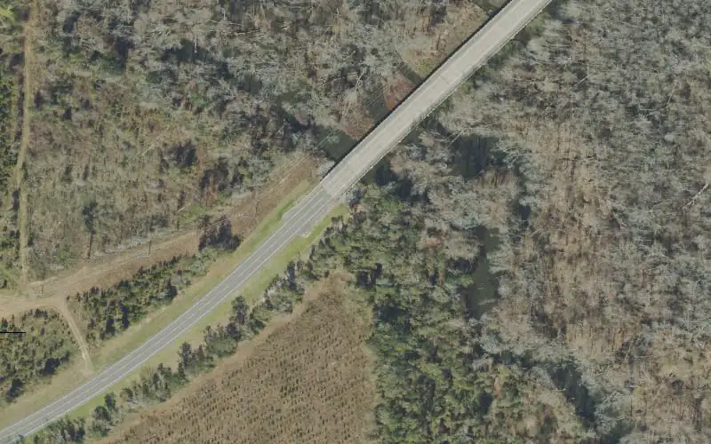
| Agency notes | Status comments: This is not a maintained access site. This is simply a location along the road shoulder where is is possible to launch a canoe when water levels are acceptable. The road shoulder can be wet with deep mud. Limited parking Use caution Operational comments: This is not a maintained access site. This is simply a location along the road shoulder where is is possible to launch a canoe when water levels are acceptable. The road shoulder can be wet with deep mud. Limited parking Use caution |
| Source ID | JA00005AA |
| Coordinates | 30.93608, -85.29657 · OpenStreetMap |
Map
Forecast
Loading forecast…
Source: National Weather Service (api.weather.gov), live.
Nearest water gauge
Chipola River At Marianna Fl (USGS 02358789), about 12.2 mi away. It may be on a different water body.
Loading live readings…
Source: U.S. Geological Survey instantaneous values, live, provisional.
Report a change Also tell the agency: corrections to the source data help everyone.
Reviews
No reviews yet.
Nearest listed sites
- Lily Pad Adventures (Call Ahead 850-326-4884) — 1.4 mi
- Bellamy Bridge Canoe Access — 5.1 mi
- Christoff Ferry Landing Boat Ramp — 6.3 mi